
Kaneohe Neighborhood Board No. 30
About the Kaneohe Neighborhood Board
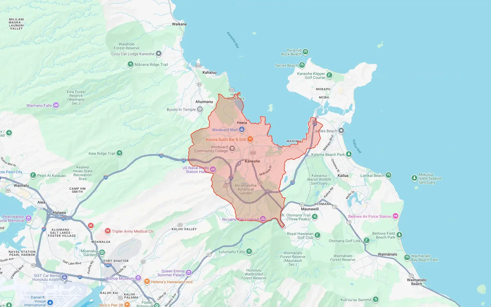
Covers the Kāneʻohe area from Heʻeia to Kāneʻohe Bay. Includes Heʻeia, Kāneʻohe town, Kāneʻohe Bay Drive area, and the residential areas along Kamehameha Highway.
We summarize these lengthy meetings so you can stay informed about zoning changes, infrastructure updates, public safety concerns, and community decisions that affect residents and property owners in Kaneohe.
Monthly Summaries
- 2026-05-23 – No 30 Kāneʻohe Neighborhood Board Regular Meeting May 2026
- 2026-04-17 – No 30 Kāne‘ohe Neighborhood Board Regular Meeting April 2026
- 2026-03-20 – No 30 Kāne‘ohe Neighborhood Board Regular Meeting March 2026
- 2026-02-20 – No 30 Kāne‘ohe Neighborhood Board Regular Meeting February 2026
- 2026-01-20 – No 30 Kāne‘ohe Neighborhood Board Regular Meeting January 2026
- 2025-12-22 – No 30 Kāne‘ohe Neighborhood Board Regular Meeting December 2025
- 2025-11-24 – No 30 Kāne‘ohe Neighborhood Board Regular Meeting November 2025
- 2024-10-23 – No 30 Kāne‘ohe Neighborhood Board Regular Meeting October 2024
- 2024-09-20 – No 30 Kāne‘ohe Neighborhood Board Regular Meeting September 2024